Log in
All resources
Create a design
34,645 Free Images of 1650 Maps
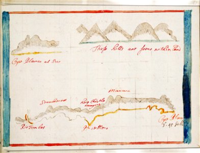
charts and maps of the royal museums greenwich
1682 maps
1601-1650 paintings
maps in the library of congress
pictorial maps
old manuscript maps
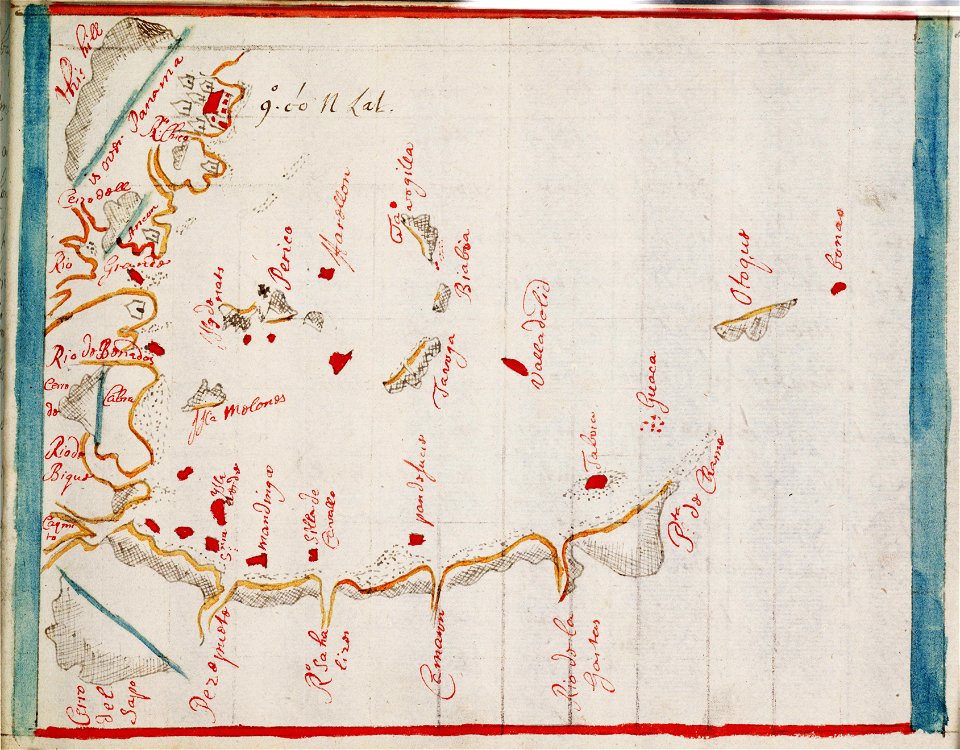
spanish-language maps
1632 maps
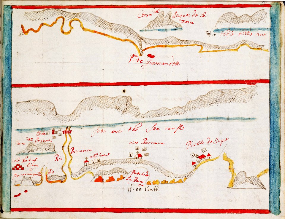
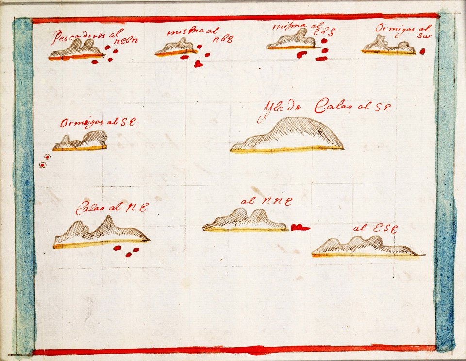
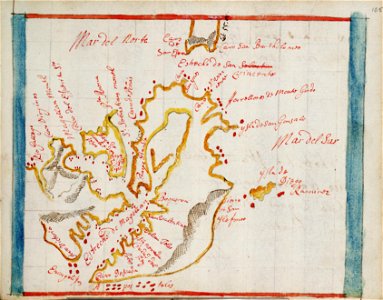
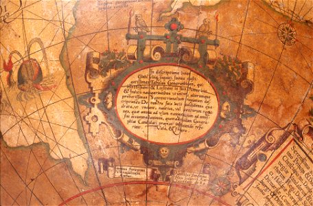
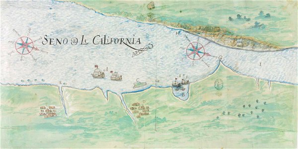
en especial del descubrimiento del reino de la california
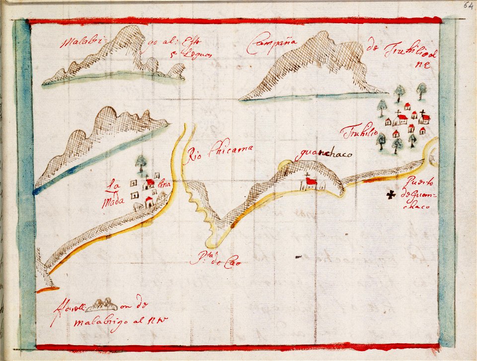
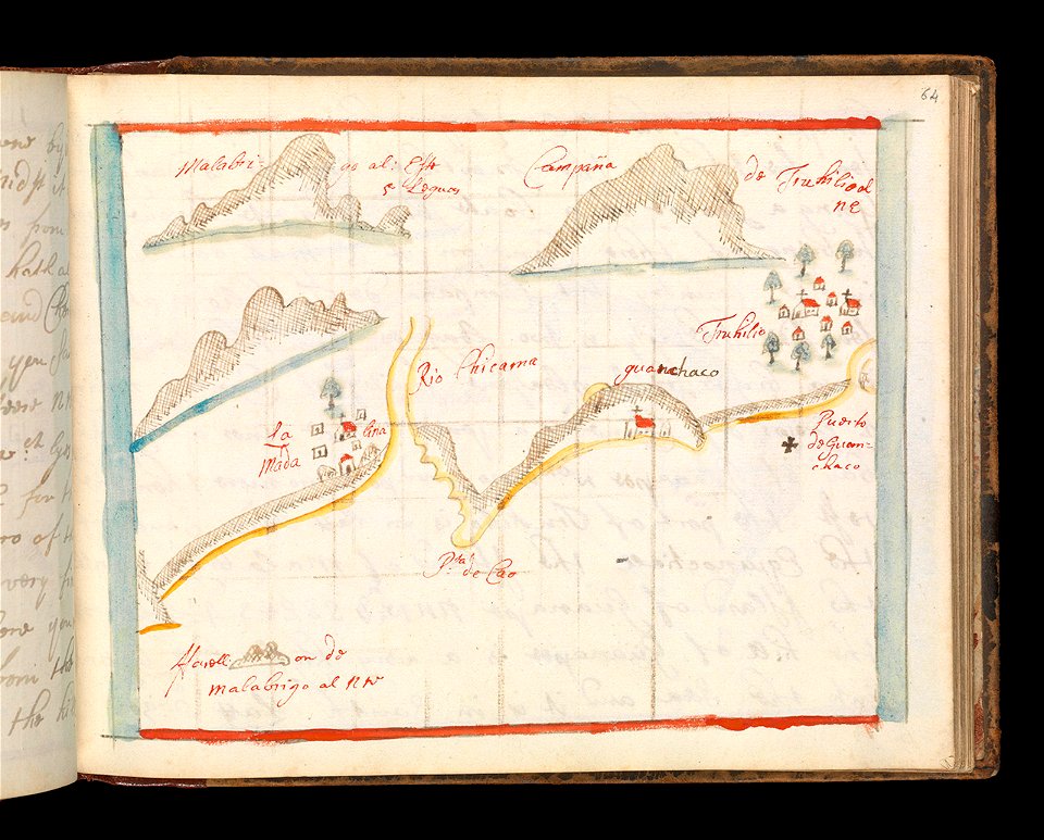
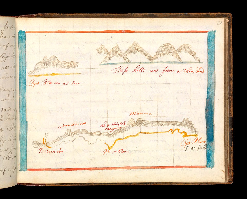
descripciones geográphicas e hydrográphicas de muchas tierras y mares del norte y sur en las indias
charts and maps of the royal museums greenwich
1682 maps
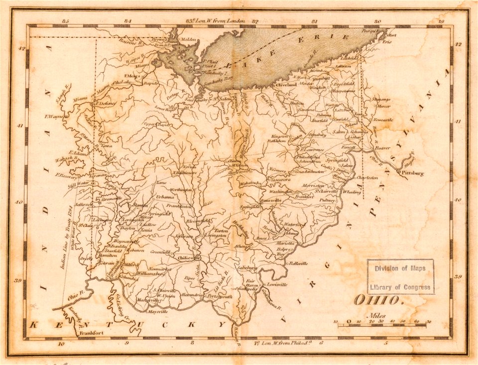
maps in the library of congress
1814 maps of ohio
charts and maps of the royal museums greenwich
1682 maps
charts and maps of the royal museums greenwich
1682 maps
charts and maps of the royal museums greenwich
1682 maps
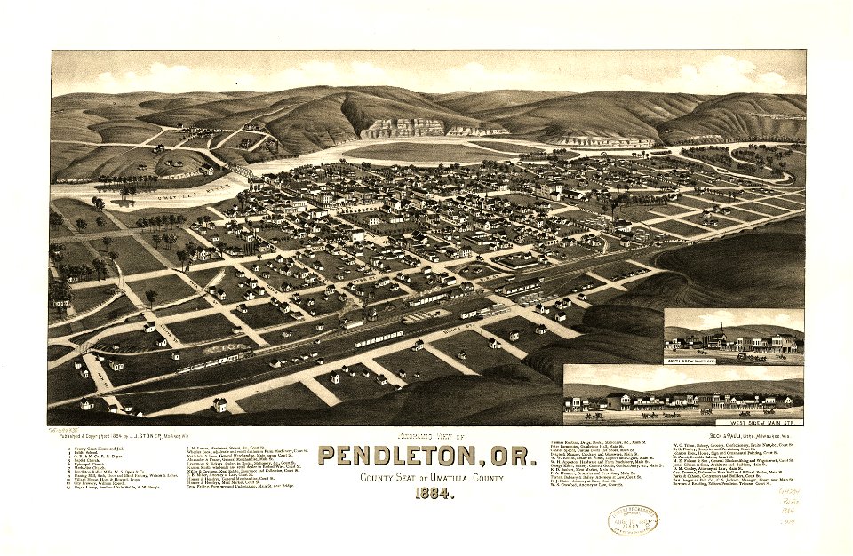
maps in the library of congress
1884 maps of oregon
charts and maps of the royal museums greenwich
1682 maps
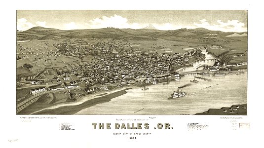
maps in the library of congress
1884 maps of oregon
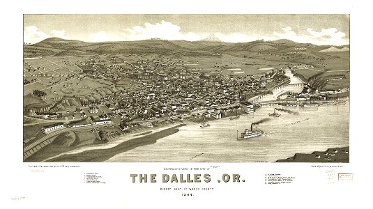
maps in the library of congress
1884 maps of oregon
maps in the library of congress
1884 maps of oregon
charts and maps of the royal museums greenwich
1682 maps
19th-century satirical maps
augusto grossi
charts and maps of the royal museums greenwich
1682 maps
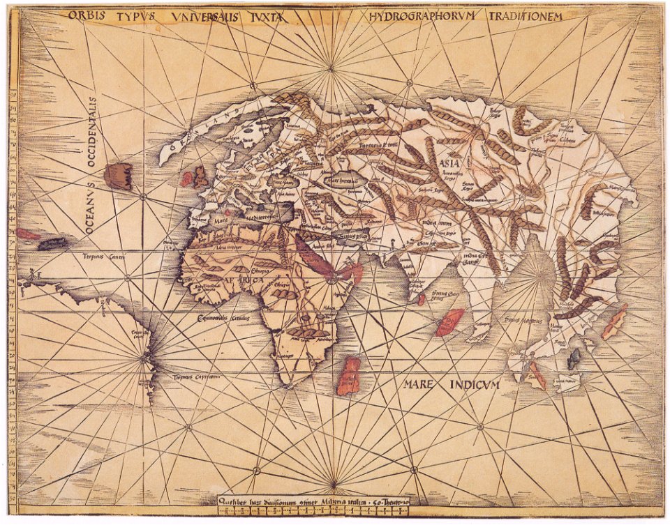
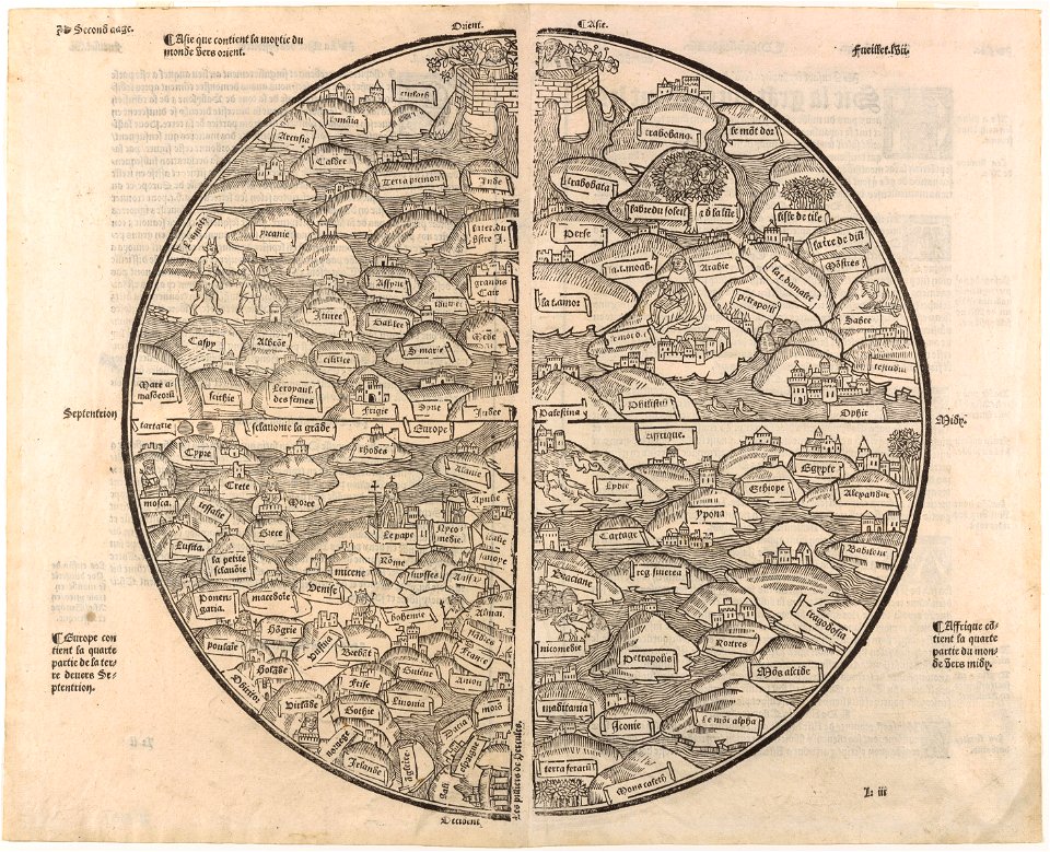
maps made in the 16th century
maps by martin waldseemüller
charts and maps of the royal museums greenwich
1682 maps
charts and maps of the royal museums greenwich
1682 maps
maps in the library of congress
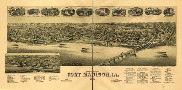
1889 maps of iowa
maps in the library of congress
1889 maps of iowa
maps in the library of congress
1889 maps of iowa
charts and maps of the royal museums greenwich
1682 maps
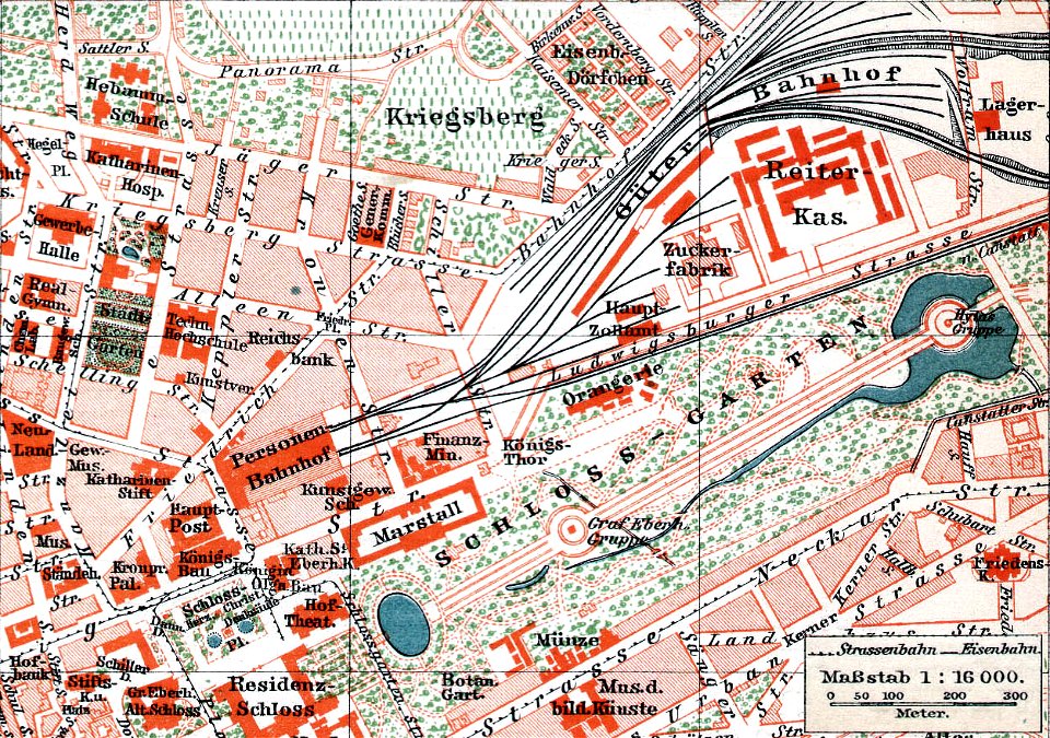
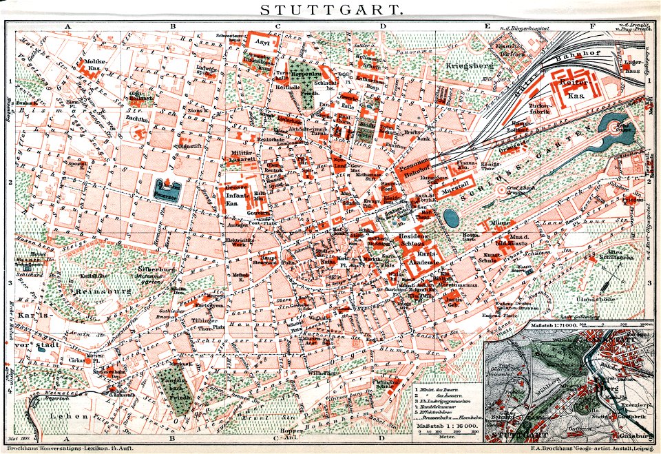
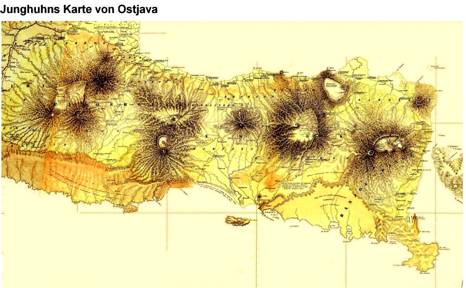
brockhaus' konversations-lexikon (1892)
maps by brockhaus
brockhaus' konversations-lexikon (1892)
maps by brockhaus
charts and maps of the royal museums greenwich
1682 maps
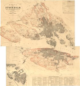
19th-century maps of stockholm
1870 maps
charts and maps of the royal museums greenwich
1621 maps
charts and maps of the royal museums greenwich
1730 maps
charts and maps of the royal museums greenwich
1550 maps
charts and maps of the royal museums greenwich
1731 maps
charts and maps of the royal museums greenwich
1621 maps
charts and maps of the royal museums greenwich
1600 maps
charts and maps of the royal museums greenwich
1830 maps
charts and maps of the royal museums greenwich
1730 maps
charts and maps of the royal museums greenwich
1600 maps
charts and maps of the royal museums greenwich
1807 maps
charts and maps of the royal museums greenwich
1589 maps
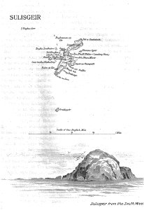
old maps of the outer hebrides
lighthouse maps
old maps of stockholm county
maps of lidingö
charts and maps of the royal museums greenwich
1682 maps
charts and maps of the royal museums greenwich
1682 maps
charts and maps of the royal museums greenwich
1682 maps
charts and maps of the royal museums greenwich
1682 maps
charts and maps of the royal museums greenwich
1682 maps
matthäus merian
1636 maps
charts and maps of the royal museums greenwich
1682 maps
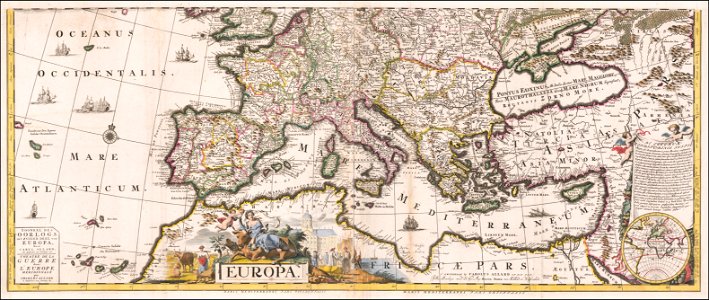
description de l'universe
maps of nubia
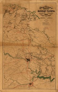
maps in the library of congress
1864 maps of virginia
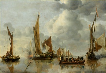
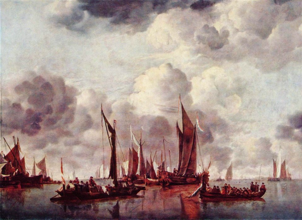
sailing ships of the netherlands
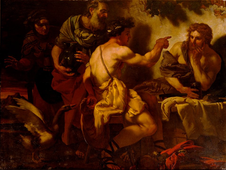
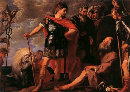
1650 paintings
17th-century oil on panel paintings in belgium
1601-1650 paintings
1601-1650 paintings
pointing in art
1650 paintings
london
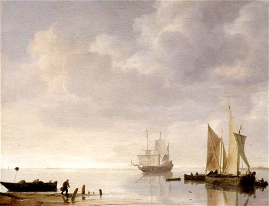
paintings of sailboats
simon de vlieger
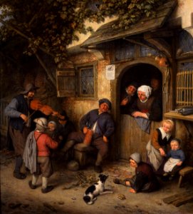
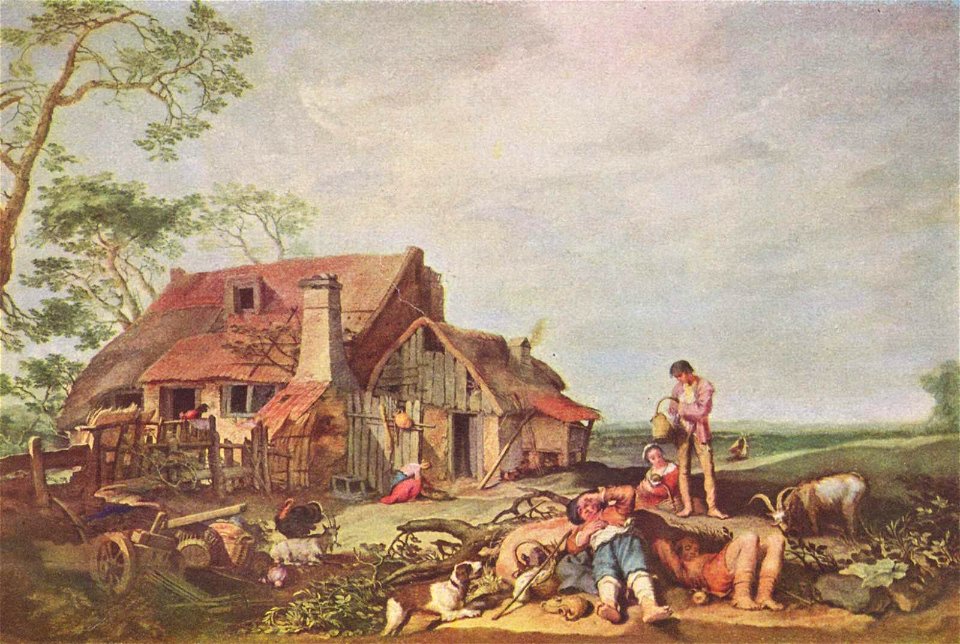
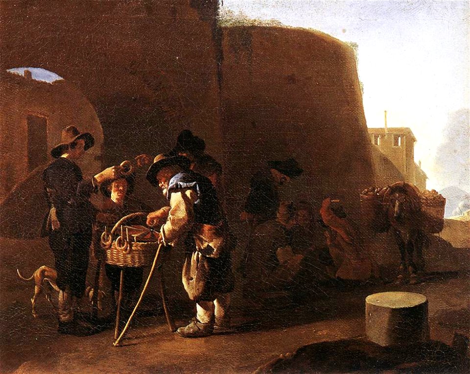
genre paintings by adriaen van ostade
violinists in art
1601-1650 paintings
male
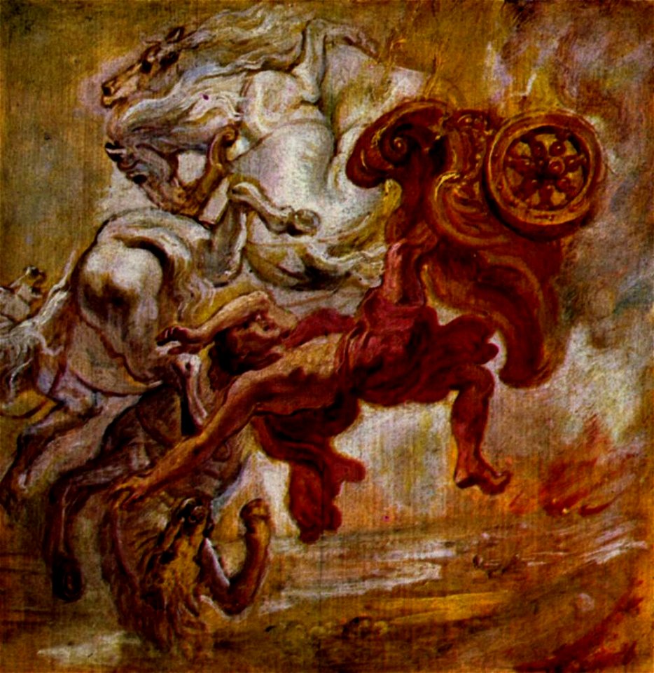
17th-century oil on canvas paintings in germany
1601-1650 paintings
17th-century oil on copper paintings
pieter van lint
1601-1650 paintings
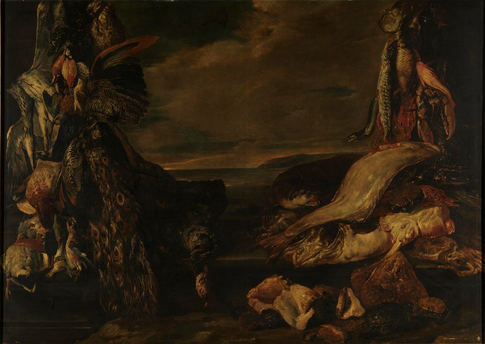
acorns in art
european paintings in the indianapolis museum of art
1650 paintings
european paintings in the indianapolis museum of art
1650 paintings
resting in art
berlin
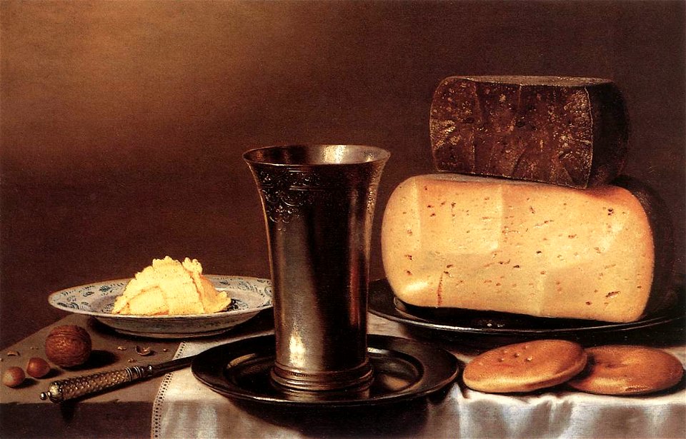
still-life paintings in the museo del prado
1601-1650 paintings
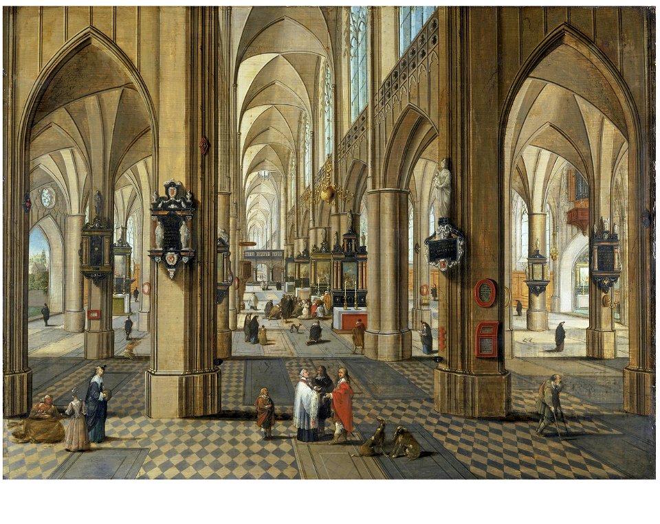
onze-lieve-vrouwekathedraal (antwerp) in art
paintings of church interiors
street vendors in art
cakes in art
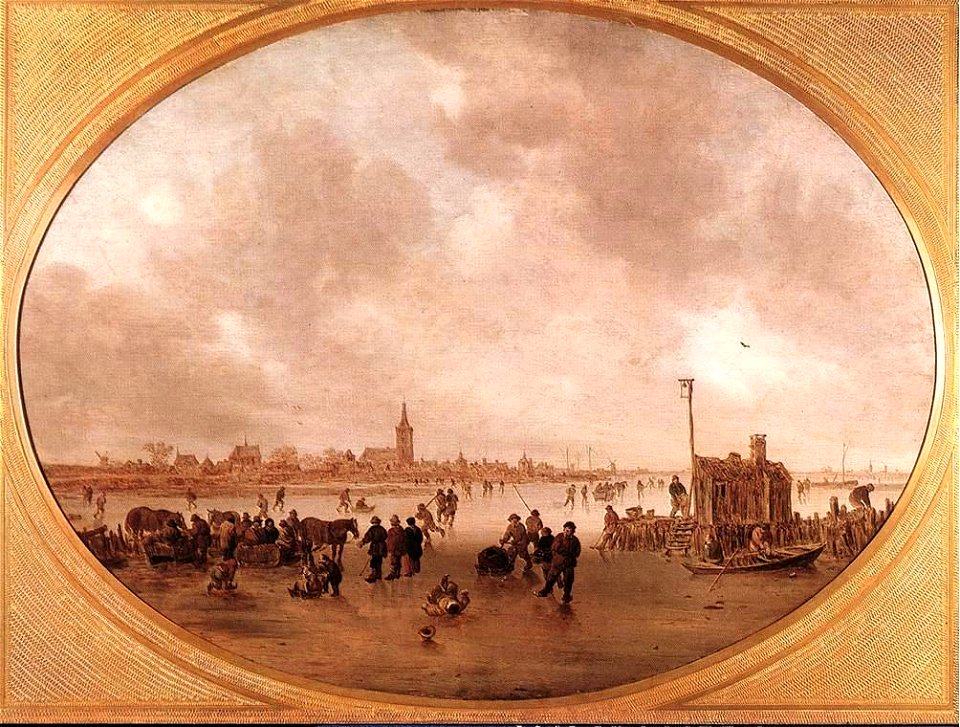
paintings by jan van goyen
1601-1650 paintings
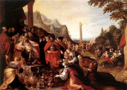
17th-century religious paintings in belgium
antwerp
1780 in the caribbean
virgin islands
the generall historie of virginia (john smith)
17th-century maps of bermuda
pictorial maps
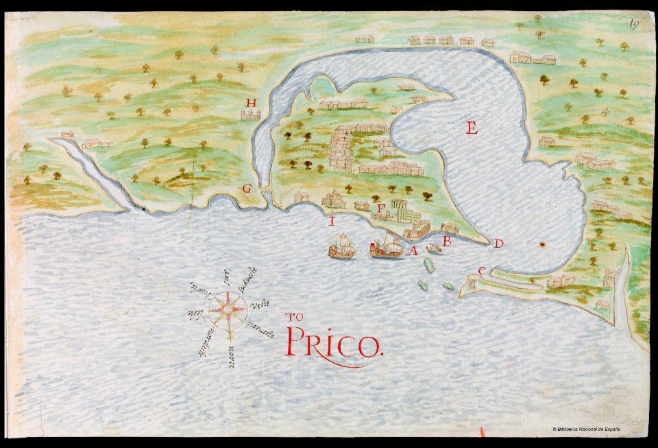
puerto rico
maps with cartouches
atlas van der hagen
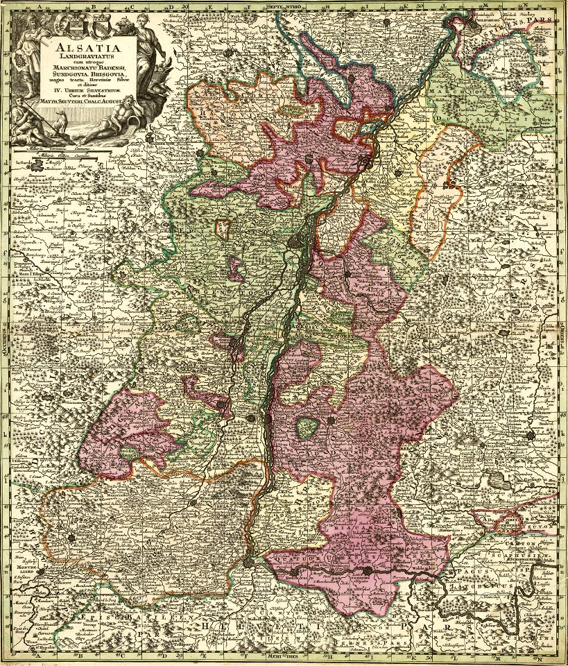
collections de la bibliothèque nationale et universitaire de strasbourg
maps by matthäus seutter
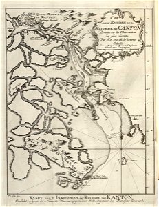
old maps of guangzhou
lantau island
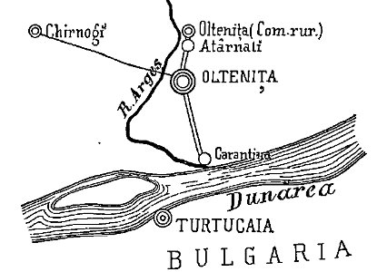
quarantine facilities in romania
1895 in romania
old weather and climate maps
1872 maps
18th-century maps of indonesia
maps of new guinea
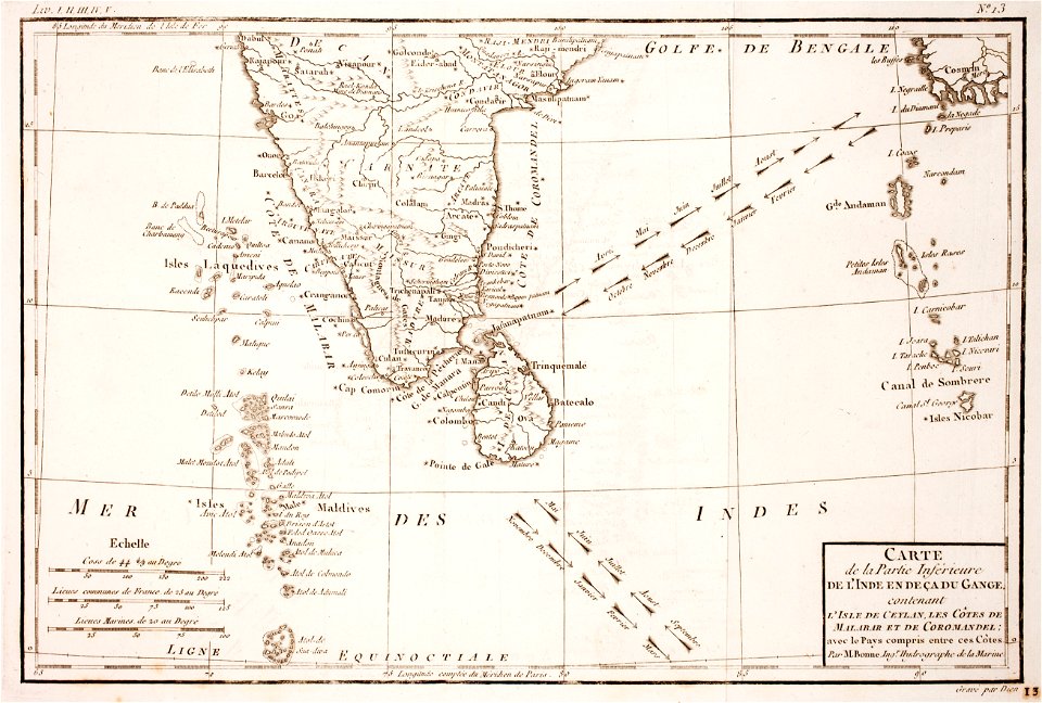
maps of the andaman islands
18th-century maps of india
historical images of the gravensteen (ghent)
atlas van loon
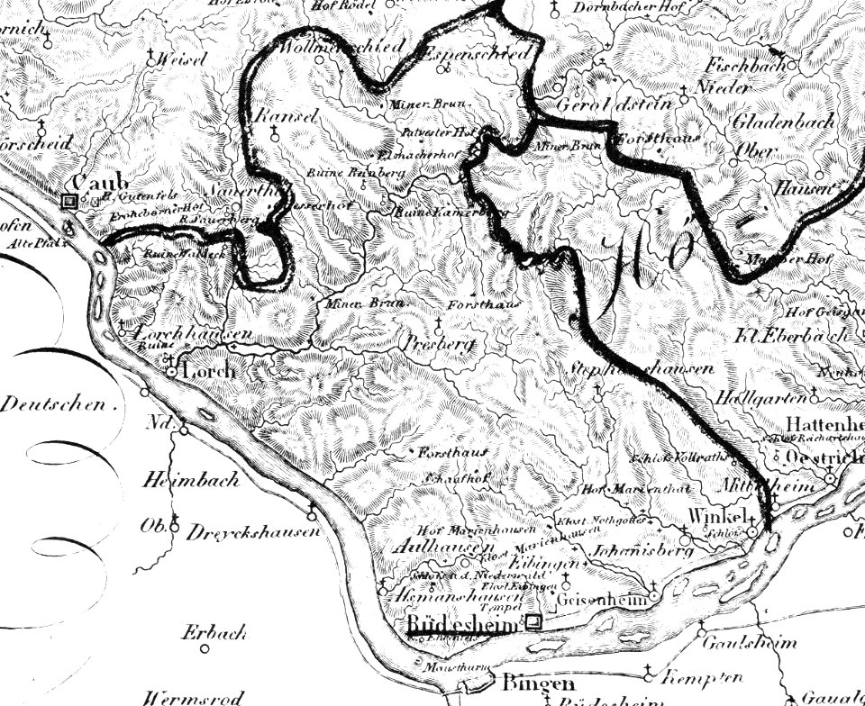
historic views of rüdesheim am rhein
1828
cornell: persuasive cartography: the pj mode collection
cornell university library
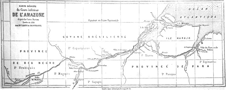
19th-century maps of brazil
map of brazil
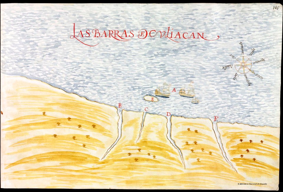
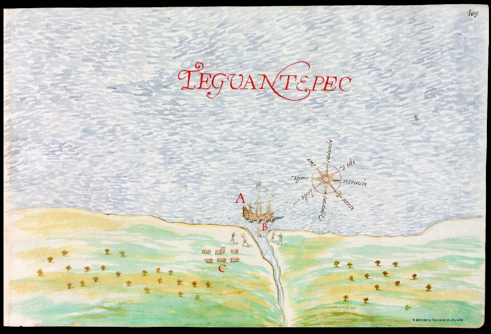
old maps of mexico
pictorial maps
nayarit
chacala
gulf of california
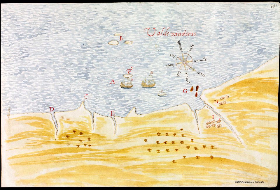
pictorial maps
old maps of mexico
pictorial maps
veracruz
florida
atlantis magni tomus quintus (biblioteca comunale di trento)
maps made in the 18th century
latin-language maps
carolus allard
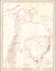
society for the diffusion of useful knowledge (great britain)
old maps of lebanon
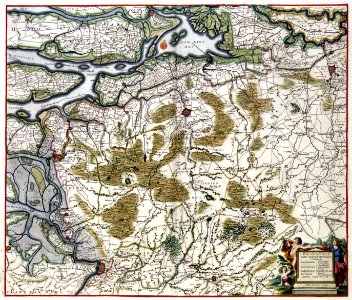
old maps of north brabant
old maps of zeeland
maps by matthäus seutter
maps with cartouches
old maps of guangzhou
zhongshan
old maps of guangzhou
zhongshan
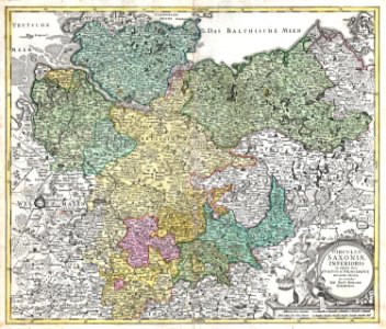
maps of territories in the lower saxony circle
johann baptist homann
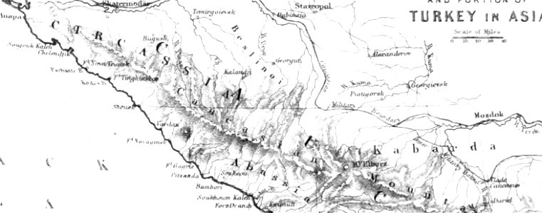
pictorial history of the russian war 1854-5-6 by george dodd
maps of circassia
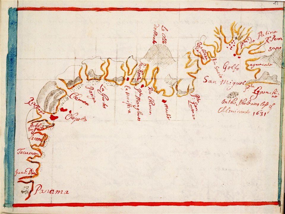
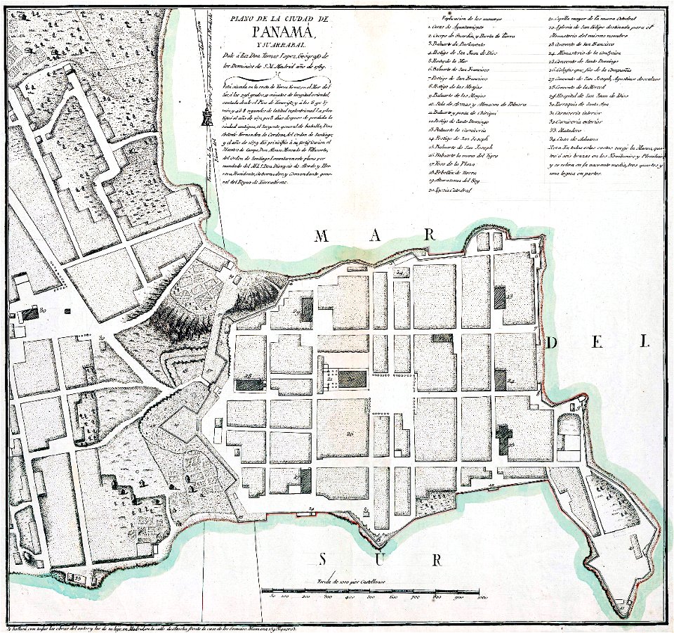
casco viejo
panama
maps made in the 17th century
maps by nicolaes visscher i
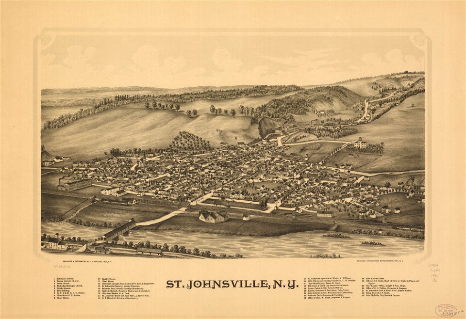
maps in the library of congress
new york
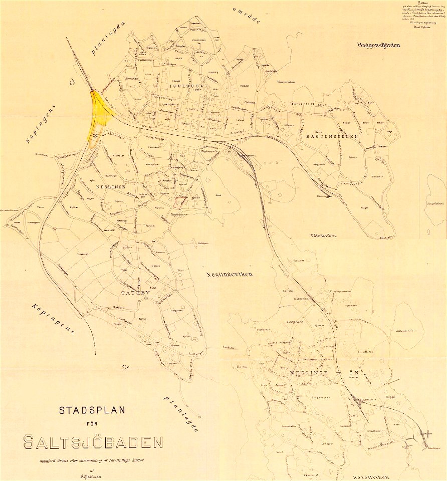
saltsjöbaden
maps
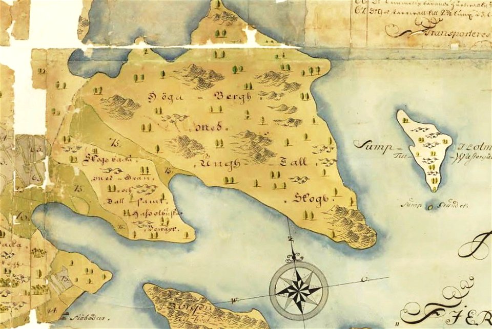
unidentified maps
1590 maps
saltsjöbaden
maps
1841 maps
3401 - 3500 of 34,645
Next page
/ 347